Your Land, Our Expertise

Surveying Company in Denison, TX

Precision Surveying Solutions Tailored to You

At Underwood Drafting & Surveying, Inc., we utilize cutting-edge technology to deliver accurate and efficient land surveying services throughout North Texas and Southern Oklahoma, tailored to our clients’ needs. Our commitment goes beyond just providing technical expertise; we strive to create an educational atmosphere where clients are informed about every aspect of their project. With a commitment to the best interests of our clients, we avoid upselling unnecessary services and focus solely on what you truly need. Our dedication to customer satisfaction is supported by our comprehensive insurance and professional liability coverage, ensuring peace of mind as you partner with a fully licensed and insured team in Denison, TX, that you can trust.

We Give Free Quotes


Our Services

Drone Technology

Through the use of drones, our team can access and survey land from above with ease and precision.

Photogrammetry

This process uses advanced imaging technology to capture multiple aerial images, which are then processed to create accurate, detailed two and three-dimensional maps and models of the landscape. By leveraging high-resolution imagery and sophisticated software, photogrammetry provides valuable insights into topography, spatial analysis, and site planning.

LiDAR

LiDAR, or Light Detection and Ranging, technology uses advanced lasers to measure distances with precision and accuracy, capturing high-resolution, three-dimensional data from the earth’s surface. These drones efficiently map and scan large areas, providing precise topographic information.

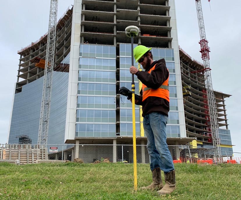
Commercial & Residential Boundary Surveys

These surveys accurately determine property lines, ensuring compliance with local regulations and protecting your investment. They provide critical information for construction, development, or property dispute resolution, giving homeowners and businesses confidence in their land ownership.

*Note: Unfortunately, we do not provide abstracting services.

Mortgage Inspection Certificates

Is a less expensive document that is accepted by some Oklahoma Lenders and Abstract Companies which is prepared by Professional Land Surveyor for the use of a specific client based upon their general knowledge of land boundaries and monuments in a given area. Such report shall be prominently labeled ‘Mortgage Inspection Report – Not a Land or Boundary Survey’ and shall not be designated as, or construed as being, a Land or Boundary Survey.

Topographic Surveys

These surveys capture the natural and man-made features of a land area, detailing elevations, contours, and any existing structures. They are crucial for landscape design, construction planning, and environmental assessments, providing valuable data for engineers and architects to create accurate site plans.

Residential/Commercial Design & Development

This involves the planning and creation of spaces for living and business, focusing on aesthetics, functionality, and compliance with zoning regulations. The process includes various stages, such as conceptual design, site planning, and project management.

ALTA/NSPS Land Title Surveys

These are comprehensive land surveys that meet standards set by the American Land Title Association and the National Society of Professional Surveyors, providing detailed information about property boundaries, easements, and restrictions. They are essential for property transactions, ensuring that buyers and lenders have a clear understanding of the land’s legal and physical attributes, and minimizing risks associated with property ownership.

Elevation Certificates

These official documents provide information to the Federal Emergency Management Agency (FEMA) about a property’s elevation in relation to the FEMA established floodplain, typically required for flood insurance purposes. They are issued by licensed Surveyors and determine flood risk, helping property owners understand insurance obligations and compliance with local regulations.

Construction Staking

This involves marking specific locations on a construction site to ensure that the building, roads, or other structures are accurately placed according to the design plans. This process is critical for guiding construction crews and maintaining proper alignments, elevations, and boundaries throughout the building process.

Trust our expert land surveying services. Contact us by calling our office at 903-465-2151 today.

Underwood Drafting & Surveying, Inc.
3404 Interurban Road
Denison, TX 75021

Phone: (903) 465-2151

Fax: 903-465-2152

Business Hours
Monday - Friday
8:00 am to 5:00 pm

TBPLS Firm No.: 10006300

Oklahoma CA No.: 2315